
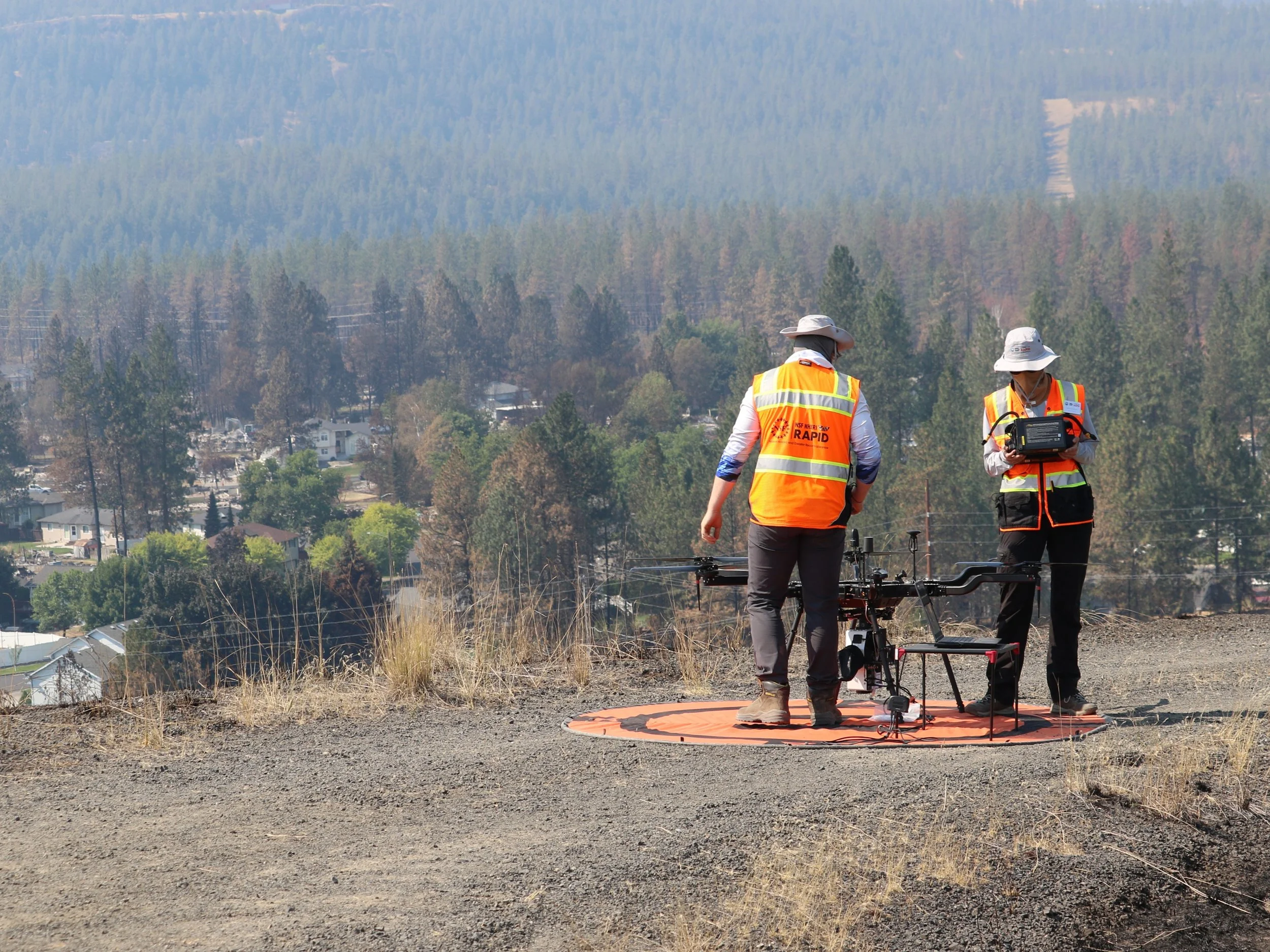
RAPID Staff prepares a drone for flight over the Old Trails burn area in Spokane, WA
The RAPID Facility has completed its first comprehensive field deployment to the Spokane area, conducting data collection beginning August 24 in and around the Old Trails burn area. This update provides an early look at what was collected, how it can be accessed, and important considerations to keep in mind as the community begins to make use of it. This update is intended for both members of the research community and members of the public who have been following the RAPID Facility's work in Spokane.
This work has been carried out in close coordination with the Spokane Wildfire Academic Consortium (SWAC), which has led local research coordination throughout the fire response and remains a key partner going forward.
Over the course of the deployment, the team conducted extensive aerial imaging across the Old Trails Fire area, capturing both high-resolution optical imagery and multispectral data across the burn footprint and adjacent unburned reference areas. The burn area includes the Northside Landfill, a former EPA Superfund site, where the team conducted significant imaging and data collection. This effort builds on the fixed-wing, multi-camera approach used in prior RAPID deployments. In addition to the aerial work, the team also collected street view imagery throughout the Old Trails area, providing ground-level documentation to complement the aerial dataset.
How This Data Can Be Accessed
This early data is accessible through DesignSafe, available here. The site includes an interactive map showing the specific locations where data was collected, including the Northside Landfill area, along with the following preliminary products:
A higher-resolution orthomosaic of the imaged area, generated from the fixed-wing imagery collected during the deployment.
A digital elevation model, rendered as a shaded relief, providing an early look at surface topography and terrain features across the burn area.
Sensor data collected in the field, offered here ahead of complete analysis.
Once fully processed, all data from this deployment will be made openly available on a DesignSafe data repository, consistent with our approach throughout this response of sharing data without restriction to any specific research group or institution.
Street-level imagery from the deployment is also available on Mapillary, providing ground-level views that complement the aerial products above.
A Note on Data Quality
This data should be treated as preliminary. In particular, it has not yet been rigorously georeferenced. Final post-processing is pending the publication of satellite positions, which are needed to update and refine our GNSS data collection. Until that step is complete, users should expect some positional uncertainty in the current products and should treat locations and boundaries as approximate rather than survey-grade.
Looking Ahead
As research questions emerge from the community's analysis of this preliminary dataset, we anticipate continuing data collection over time, building toward a longitudinal record at this site.
Post updated October 12, 2026