
Spokane Washington Wildfires
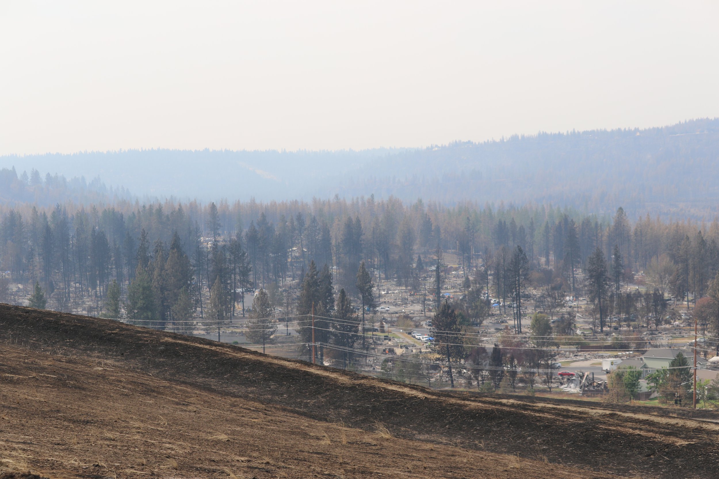
Old Trails burn area as seen from the Northside Landfill
Three related wildfires burned across the greater Spokane area in August 2026, forcing approximately 65,000 people to evacuate and destroying more than 800 structures. The fires spread rapidly during hot, dry, and windy conditions under Washington state's first "particularly dangerous situation" Red Flag Warning issued by the National Weather Service. Damage from the fires was estimated to exceed $1 billion.
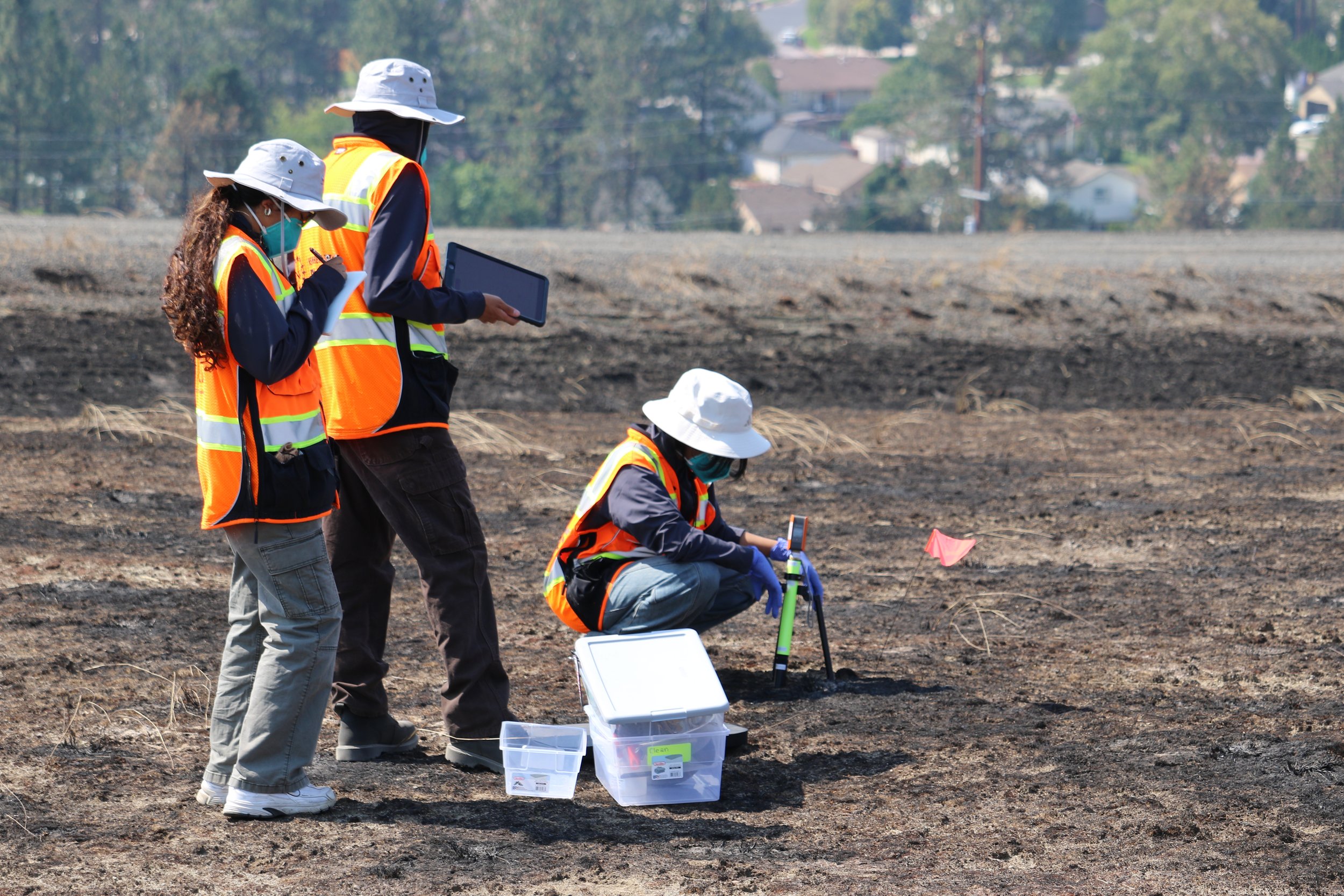
Researchers gather sampling data from Northside Landfill
Beginning in late August, RAPID Facility staff deployed to the Spokane area in collaboration with researchers at Gonzaga University and the Spokane Wildfire Academic Consortium. The team collected air and soil samples and documented burned and adjacent unburned areas using fixed-wing drone imagery, including extensive data collection at the Northside Landfill, a former EPA Superfund site within the Old Trails burn area. Aerial imagery was used to produce high-resolution orthomosaic maps and digital elevation models, creating a detailed record of post-fire conditions that can support future research into the environmental and community impacts of the fires. The initial deployment also establishes a baseline for potential follow-up surveys, allowing researchers to track changes in the affected areas over time.